 |
| Old Faithful |
 |
| Buffalo! |
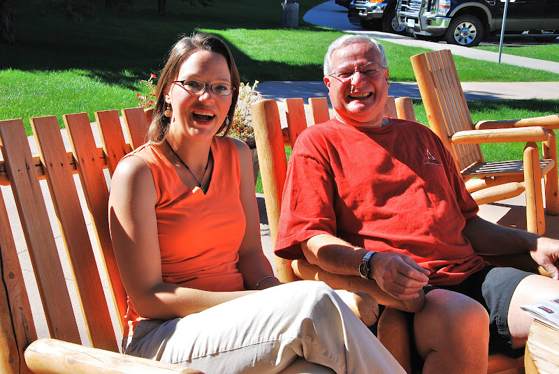
On Saturday, August 25th, we met Mom and Dad at the hotel and drove to
Yellowstone National Park, opting again for the west entrance. We had tackled the northern portion of the park on Thursday and hoped to see the sights of the southern and western end on this trip. And, like our other trip, we saw a buffalo on the side of the road shortly after entering the park. Sitting down in the grass enjoying the warm sunshine, this one, too, ignored us and our cameras.

With Dad at the helm (so I wouldn't unnecessarily cut into happy hour at the end of the day with additional sightseeing), we drove straight to the
Old Faithful Lodge, where we found the eruption predictions helpfully displayed on the front counter. We opted for the cafeteria for lunch and sat near some giant windows in the dining room awaiting the next eruption of the geyser, estimated to blow at 1:04pm. Apparently,
Old Faithful erupts every 50-127 minutes, with a height between 106 and 184 feet, according to the park brochure, caused by a narrowing in the plumbing underground that forces the steam and boiling water upwards.
 |
| Old Faithful Lodge |
Faithfully, at just after 1pm, as Ken and I stood with the hordes of people crowding the boardwalk around the geyser,
Old Faithful began spewing out water over 100 feet in the air. The display went on for about a minute or two before it slowed and the spray gradually shortened. Within a few seconds after the end of the performance, the boardwalk had emptied of all the tourists.
We found Mom and Dad watching from only a short ways back, so we joined them in the
lodge for an ice cream cone. The Lodge, built in 1923, is a sprawling log building with a huge hearth in the center of the main hall adjacent to the lobby. A large gift shop, cafeteria and several small concessionaires encircle the hall, with tourists from all over mingling together for lunch or snacks. We sat at the large window overlooking the now calm Old Faithful and enjoyed our yummy frozen yogurt cones.
 |
| Cliff Geyser and Iron Spring Creek |
 |
| Bubbling cauldron of fun |
We continued northward and stopped at the
Black Sand Basin, so named for the black obsidian sand found at the site. Safely above the steaming pools of water and the gently flowing Iron Spring Creek, we saw several interesting geothermal features. Closest to the parking lot, Mom and Dad saw a calm pool of water suddenly become the violent Cliff Geyser, spewing water up and into the creek next to it.
 |
| Black Sand Basin |
 |
| Bacterial mat near the boardwalk |
Meanwhile, Ken and I, on the opposite side of the
basin, found the colorful Rainbow Pool and Sunset Lake. The thermophiles (tiny microorganisms at the water's edge) paint the pools' drainage and runoff with brilliant oranges and yellows. We wandered back toward the Cliff Geyser and watched it erupt spectacularly for a few minutes before heading up the road.
 |
| Sapphire Pool |
 |
| Mustard Spring |
Just north of the Black Sand Basin, we discovered the
Biscuit Basin, so named for the rock biscuits thrown violently out of the Sapphire Pool four days after the 1959 earthquake nearby that registered 7.5 on the Richter Scale. The pool is an otherworldly color of clear blue with ledges that disappear into the earth.
 |
| Runoff from Sapphire Pool |
As we wandered around the
Biscuit Basin along the boardwalks, we also saw Mustard Spring, a steaming, bubbling spring of scalding water with various shades of pinks and oranges around its edges. According to the park brochure, hot springs are similar to geysers but without the restriction underground that forces the boiling water violently to the surface where it explodes in a spray of water. Many of the springs we saw, like Mustard Spring, are calmer than geysers but still extremely hot.
 |
| Excelsior Geyser Crater |
Continuing on, we came to the
Midway Geyser Basin, another area filled with fascinating thermal features. While Mom waited patiently in the car watching an osprey fly overhead, Ken, Dad and I hiked up the steep boardwalk toward the Excelsior Geyser and Turquoise Pool.
 |
| Grand Prismatic Spring |
The
Excelsior Geyser Crater was formed after several eruptions blew apart the constricted plumbing underground, resulting in a beautiful blue pool of boiling, steaming water. The cliff edges around the crater resulted from the infrequent but angry explosions, last occurring for 46 straight hours in 1985. We also learned that Excelsior Geyser's constant outflow of between 4000 to 4500 gallons of water (at 199 degrees) per minute empties into the nearby Firehole River.
 |
| Opal Pool |
Just up ahead, we saw the
Grand Prismatic Spring, a huge rainbow-colored area with the 200 foot wide spring at its center. Like the Excelsior Geyser, the spring was also covered in steam as a result of its constant 160 degree temperature, and as we walked past it we could feel the intense heat. The entire basin is heated by magma deep below the ground's surface. As the rainwater and snow leak into the fissures of the rocks underground, the water is heated by the magma of an active volcano. When the superheated water bubbles out of the ground, the minerals suspended in it accumulate into various rock formations at the pool's edge and into large flat crusts as the water makes its way to the Firehole River.
 |
| Great Fountain Geyser between eruptions |
 |
| White Dome Geyser |
We returned to the car and drove through the
Lower Geyser Basin along Firehole Lake Drive where we saw enormous terraces of crusty mineral deposits around the
Great Fountain Geyser (which didn't erupt while we were there). With eruptions occurring only every 9 to 15 hours, we didn't stick around to wait for it, though its extensive terraces hinted at a huge display to come for those with the time and patience to do so.
 |
| Hot Cascades |
Just down the road we saw the 12 foot tall mound of
White Dome Geyser (which also didn't erupt during our visit). The park's largest mound was formed by the geyser's cone-type eruptions that spew the water into the air at up to 30 feet.
 |
| Steady Geyser |
 |
| Young Hopeful Geyser |
While Ken, Dad and Mom waited in the car, I trooped around the boardwalks near the Hot Cascades and Steady Geyser, an area filled with boiling pools of water and runoff streaming down a short embankment covered in orange and black bacterial mats. I walked toward the other end of the boardwalk and saw the constant bubbling of Steady Geyser, a low roiling boil coming from two holes in the mineral crust.
 |
| Artesia Geyser in between eruptions |
Across the parking lot I wandered along the boardwalk to the Young Hopeful Geyser, a small steady spout near the larger and more spectacular
Artesia Geyser whose eruptions spewed water about 4 feet in the air. The pretty dark reds and blacks surrounding Artesia Geyser were truly unique as most of the thermal formations I saw were cloaked in deep oranges.
 |
| Silex Spring |
From there, we headed next to the Fountain Paint Pots of the Lower Geyser Basin. A mile long loop of boardwalk began at the parking lot and took us past a wide variety of geothermal features including hot springs, mudpots, steam vents (fumaroles) and geysers. Our first formation was the brilliant blue Silex Spring, a deep spring of clear water at close to 200 degrees with the familiar runoff in a variety of rainbow colors. We enjoyed its beauty a little while before trudging up the hill to the
Fountain Paint Pot.
 |
| Fountain Paint Pots |
 |
| A fumarole (steam vent) |
The Paint Pot resembled, quite literally, boiling paint. A giant cauldron of thin mud bubbling and splorting at the surface, we were immediately enchanted with the
mudpots. With a color somewhere between milquetoast and pink-beige, the unique geothermal formation was truly interesting. We were mesmerized.
 |
| Red Spouter as a fumarole |
The entire area of the
Lower Geyser Basin changed following the 1959 earthquake at Hebgen Lake, about 30 miles northwest. Much like the glacial gravel in Valdez, Alaska that collapsed during an earthquake in the 1960s, the
Lower Geyser Basin is comprised of unstable glacial gravel that shook and vibrated during the earthquake. As a result, the features here changed and the ever-evolving
Red Spouter developed where there had been only a grassy knoll. Red Spouter was a fumarole when we saw it, hissing steam from the dry hole in the ground. According to the park brochure, at different times of the year and depending on the amount of water, it is a muddy hot spring, a geyser, a mudpot or a steam vent.
 |
| Clepsydra Geyser |
 |
| Jet Geyser |
Further down the path, Ken and I saw the two active geysers, the short bubbling Spasm Geyser and the violent
Clepsydra Geyser. We watched the steam and spray and turned to see
Jet Geyser doing absolutely nothing. Hmm. We continued to the end of the loop and began searching for Mom and Dad who we found half way around the loop heading down the stairs toward the two geysers.
 |
| He's just a little guy! |
As we caught up with them, Mom revealed she found $10 stuck in the space between the stair treads. Nice! And just after that, we watched as the
Jet Geyser began chortling and snorting its boiling water into the air a few feet...who knew! As we made our way slowly around the rest of the loop, we passed lodgepole pine trees bleached by the sun and hot water, frozen in place by the crust of the silica deposits. We also saw
Celestine Spring, another deep blue pool of water, as we neared the parking lot. What an interesting group of fascinating formations all in the same small area.
 |
| Middle of Minerva Terrace |
As Dad drove us north toward
Mammoth Hot Springs, I asked to see the Upper and Lower Terraces. Once there, I ran up the stairs and on the boardwalk paths to take in as much of the beautiful travertine terraces as possible while Ken, Mom and Dad waited patiently in the car. As I ascended the endless staircases, the stunning features of the terraces became increasingly more interesting and colorful.
 |
| Mound Spring |
The intricate levels of
Mammoth Hot Springs change naturally with the increase and decrease of groundwater in the area leaving behind dry shelves that resembled empty pie tart crusts. Nearing the Mound Terrace, a large rounded hill of mineral deposition, I noticed the water flowing out of Mound Spring and filling some of the little terraces near me. As I rounded the corner, I was dumbstruck by the beauty of the extremely colorful top portion of Minerva Terrace, whose orange, yellow and white layers resembled an elaborate cake overflowing with white icing. Wow.
 |
| Minerva Terrace at Mound Spring |
I continued to the very top of the Upper Terraces until I could see the smoke-filled air clouding the mountains around the town of Mammoth Hot Springs beyond the flat top of the Main Terrace below me. I raced back down the 300 feet in elevation to the car, elated I had taken the time (and leg power) to see so much of the
Mammoth Hot Springs area, whose delicate travertine formations quickly became my favorite features of the whole park.
 |
| Big Horn Sheep |
 |
| Yard Art Elk! |
As we drove out of the park, we saw three young bighorn sheep grazing on a hillside, and then a half dozen or so elk lounging in a front yard in Gardiner. Further on we caught sight of several herds of bison on farms, various stray elk mingling with farm animals and countless cows, horses and sheep along the beautiful stretches of ranch lands. Eventually we made it to dinner at
Montana Rib & Chop House in Livingston where our friendly server, Amanda, took excellent care of us. After a super tasty dinner on the lovely patio under the clear blue sky of the evening, we retired to the RV and hotel, respectively. What a fantastic and extra fun day!

 Ken and I drove back into Yellow- stone via the west entrance, and through the park out the south end. Once again, as we made our way into the park we spotted a buffalo standing around chewing on the grass and another further up the road just relaxing in the sunshine. Ha! I love buffaloes!
 Beyond the turn off for Old Faithful and along the seven miles of John D. Rockefeller Memorial Parkway toward Grand Teton National Park, we saw not one animal. No buffaloes, no moose, no elk, not even chipmunks. And the scenery had closed in on us with the skinny lodgepole pine trees lining both sides of the roadway, though we could occasionally see the mountains through them. We did cross the Continental Divide three times, grinding our way up the steep hills only to pick up substantial speed on the other side.
 As we entered the Grand Teton National Park, we began to notice the landscape open into large meadows and vast lakes. With the high temperature for the day near 92 degrees, we toe-dipped in beautiful Jackson Lake. The stunning Teton Mountains towered behind the lake in the distance with the afternoon sun casting them in shadow.


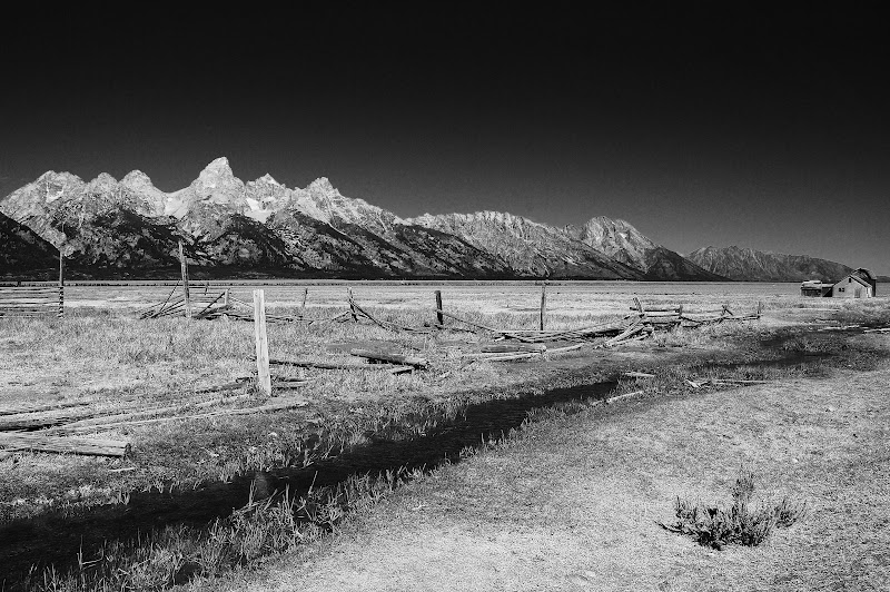
 A bit further north we toured the Cunningham Cabin, another abandoned homestead from the early 1900s bought out during the expansion of the park. J. Pierce Cunningham established the Bar Flying U Ranch here and worked the land to support his family between 1888 and 1928 when he sold out to John D. Rockefeller's Snake River Land Company. In 1925, a petition organized by Mr. Cunningham and Si Ferrin, and signed by 97 of the valley's struggling ranchers, sought a buyer who would consolidate all the ranches in the valley as a recreational area. A year later, the superintendent of Yellowstone at the time, Horace Albright introduced Rockefeller to the Jackson Hole area.


 We rounded the north end of the park road to head down the west side of the loop past the buffaloes. We pulled into Jenny Lake, a picturesque lake of cerulean blue water formed by a retreating glacier some 12,000 years ago. We hiked down the short path to the water's edge where we found small families bouncing through the shallows and taking pictures of one another. With the Teton Mountains much closer than on the east side of the park loop, we admired the stark crevices and serrated peaks across the lake. A few bits of snow could still be seen in the mountaintops, even in the end of August, though a roadside 'Glacier View Overlook' offers no such view anymore.
 We headed back toward Jackson for lunch and found Bubba's Barbecue, a standard fare place with reasonable prices. Wandering around town, we popped into a couple of thrift stores and through the town square where we saw 4 gigantic arches of hundreds of elk antlers each. Yikes. That's a lot of shed antlers. According to the sign next to them, the Boy Scouts of America and employees of the nearby National Elk Refuge collected the antlers and assembled the arches in 1960. The scouts continue to collect the shed antlers each spring and then a huge auction is conducted in the town square to benefit the elk themselves, such as growing more natural grasses or improving irrigation on the refuge.
 As we strolled the streets of Jackson, we saw hundreds of little businesses tucked into old storefronts, lending the town an 'Old West' feel. Some of the businesses are in on the act with western themed names, but virtually all are aimed at the tourist, preferably bearing cash. We continued walking along the wooden sidewalks and peeking in the windows of the stores until we slowly made our way back to the car.
 On our way out of town, we stopped in at the Visitor Center where an exhibit about the elk refuge led us to an upper level and out a back door. On the patio overlooking the refuge lands we saw not one elk. Evidently they use the refuge in winter, gathering in a herd with as many as 5,000 to 7,000 elk. During summer they hide out in the mountains snacking and avoiding predators.


